Aerial Photo Control Surveys
Transportation Facilities Projects:
- Portland International Airport
- Portland International Ferry Terminal
- Eastern Slope Regional Airport, Fryeburg
- Rangeley Airport
- Rockland, Islesboro, North Haven, Bass Harbor,
and Lincolnville Ferry Terminal
Maine Boundary Consultants has performed Aerial Photo Control Surveys for various clients. Clients such as Photogrammetric Mapping, GIS Mapping, Land Developments, and other Professionals require Aerial Photo Control Surveys before an Aerial photography mapping project is made. Sometimes Aerial Photo Control Surveys are performed by using existing Aerial Photography to obtain control (coordinates and elevations ) to “Picture Points”.
Maine Boundary Consultants can provide the services to layout targets (panel points) and to obtain coordinates and elevation to the targets points. By utilizing our RTK - GPS survey equipment Aerial Photo Control Surveys can be performed very efficiently.
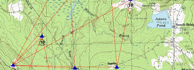
The results of the Aerial Photo Control Survey is a list of the coordinates, over a photo map or quad map. Upon request we can provide pictures and a Control Point description of key control points to be utilized in ground control for future survey work.