GIS-GPS Mapping
Governmental Projects:
- Town of Waterboro
- Town of Limerick
- Town of North Berwick
- Town of Buxton
- Town of Hollis
- City of Portland
- State of Maine
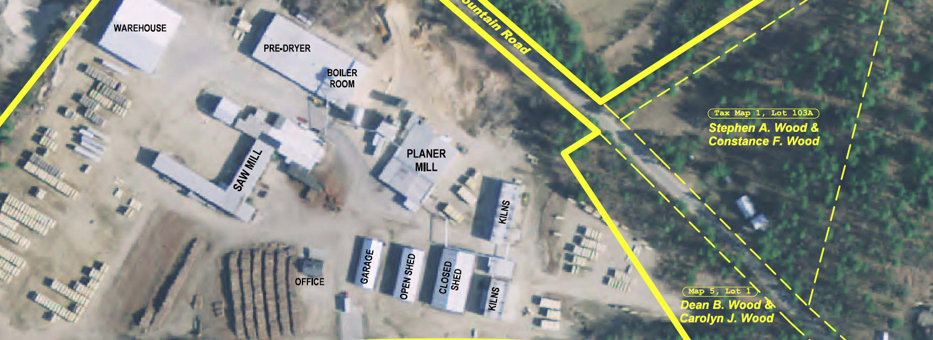
Maine Boundary Consultants has recently invested into GIS (Geographic Information System ) software. ERSI ArcView program allows us to provide certain GIS services. By utilizing the information from the State of Maine GIS Library we can provide various base mapping data to many different types of projects. This is excellent for land planning for either small local projects, town wide or regional wide mapping services.
By utilizing our GPS field equipment we can also provide GPS Mapping. GPS Mapping can be the gathering of almost any feature on the face of the earth and showing it on a map, along with any information that is collected pertaining to that feature.
The GIS-GPS Mapping could be either printed paper maps and or digital formats.